Drone Mapping in Construction & Surveying
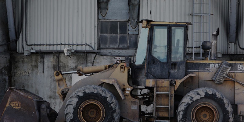
There’s a lot to keep track of on your job site — project progress, the location of equipment, the volume of materials left — and an aerial view makes it all a lot easier.
The latest generation of drones and cloud-based image processing put professional-quality aerial imagery into the hands of builders and project managers in a way that is faster, and more cost-effective than ever before.
At Great Lakes Drone Company, LLC we utilize Drone Deploy software for all of our mapping and surveying projects. Here is some case studies from their software nationwide!
Download the white paper on Truth About Drones in Construction Here!
Real People. Real Results.
Drones Building ROI at Construction Sites
In Cushing, Oklahoma, drones help oversee large energy storage construction projects.
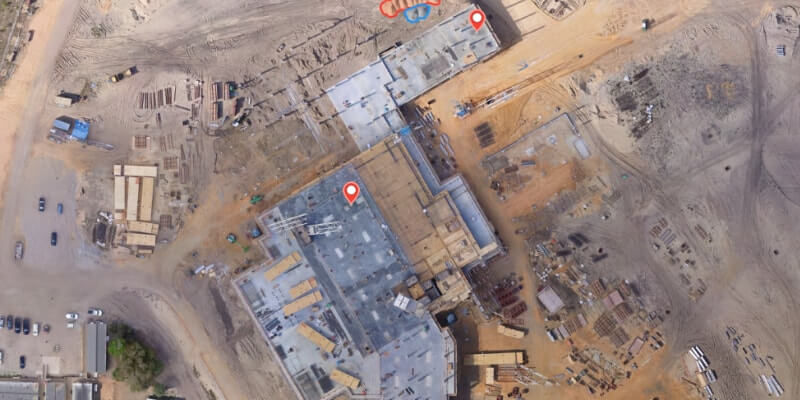
Drone Helps Verify Earthwork at Hospital Construction Site
Major construction company Brasfield & Gorrie uses a 3D Model to compare earthwork to site plans.
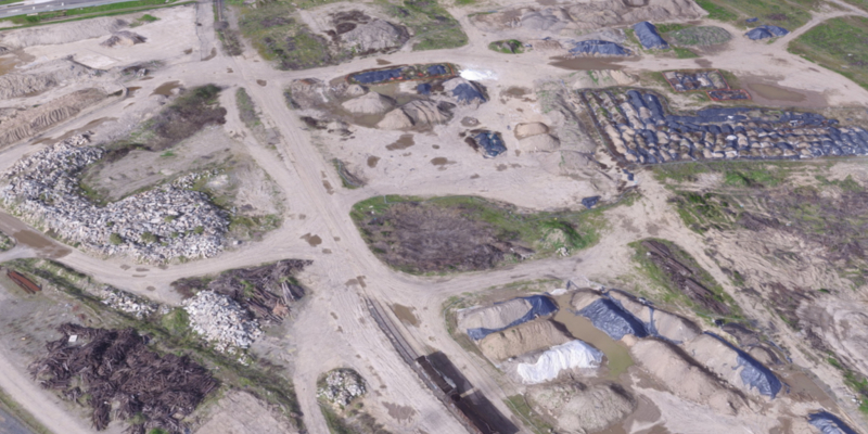
A Drone Delivers Quick Results for Major League Construction Bid
A drone completes an initial site survey used to estimate earth-moving volumes.